Sa Punta de n’Amer route
Sa Punta de n’Amer is much more than a natural area. It is a place where landscape and history come together along the same route.
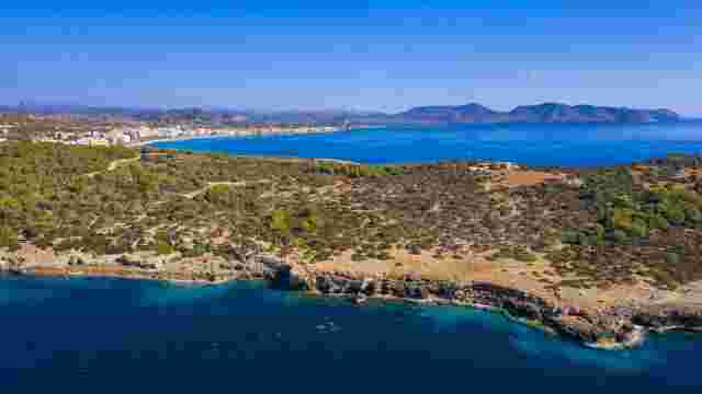
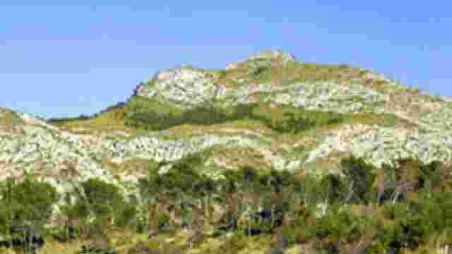
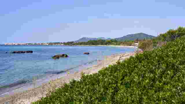
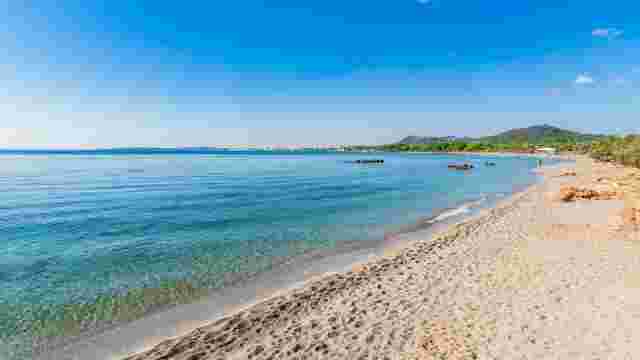
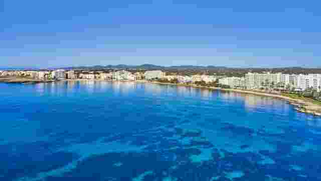
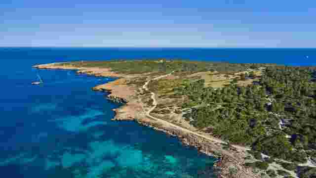
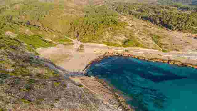
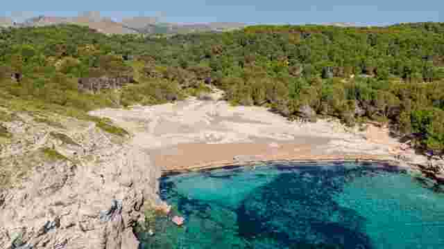
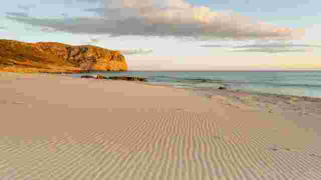
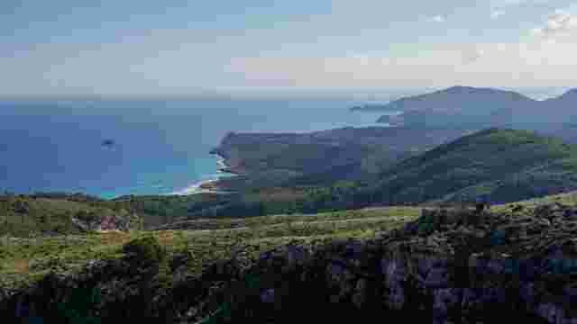
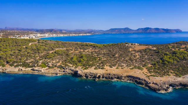
This Area of Special Natural Interest, around 200 hectares between Cala Millor and Sa Coma, preserves dunes, Mediterranean vegetation and dirt paths despite its proximity to tourist areas.
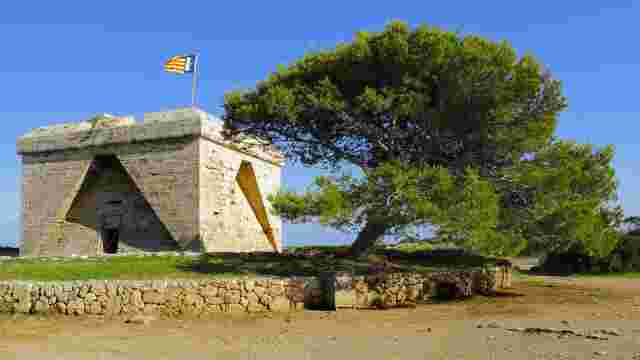
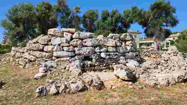
Along the route you will find historic features such as the Punta de n’Amer defence tower, known as Es Castell, old sandstone quarries and bunkers on Sa Coma beach.
Sa Punta de n’Amer route step by step
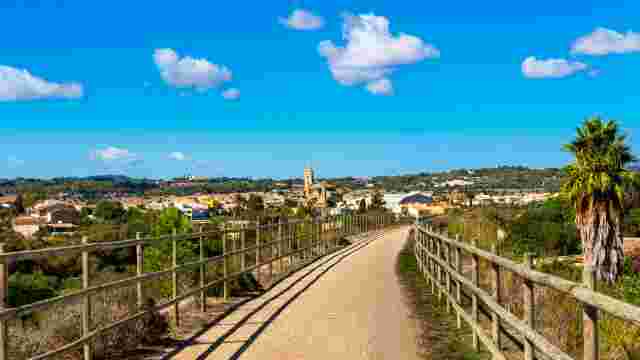
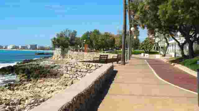
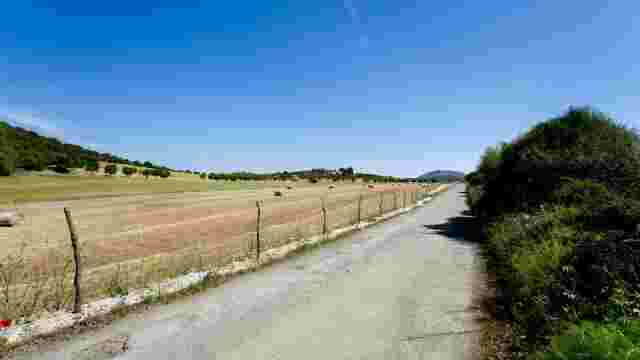
This is an easy route with no major climbs, combining seafront promenade, dirt tracks, sandy sections and areas close to the sea.
Start from Passeig de la Mar towards Sa Coma
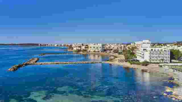
The starting point is Passeig de la Mar in Cala Millor. From here, the route heads towards Sa Coma and the dune area, then follows the path to Es Castell, around 1.3 km away.
Dune area, Es Castell and quarries
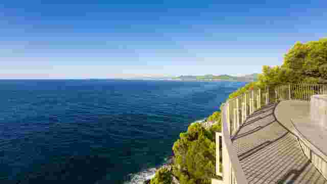
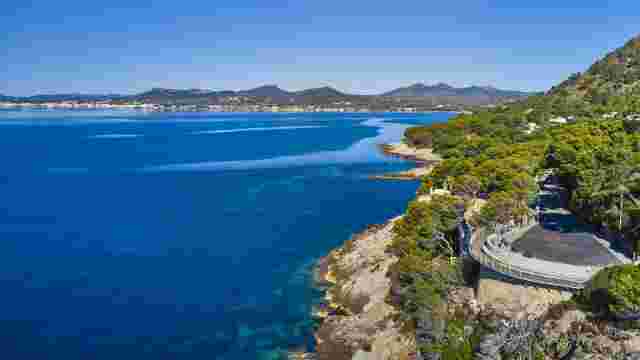
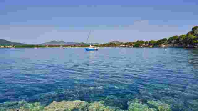
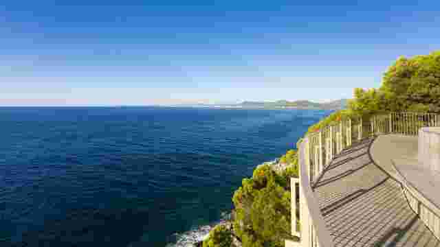
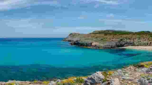
From the tower you can continue towards the geodetic point and the old sandstone quarries, with open views of the coast.
Sa Coma beach and return
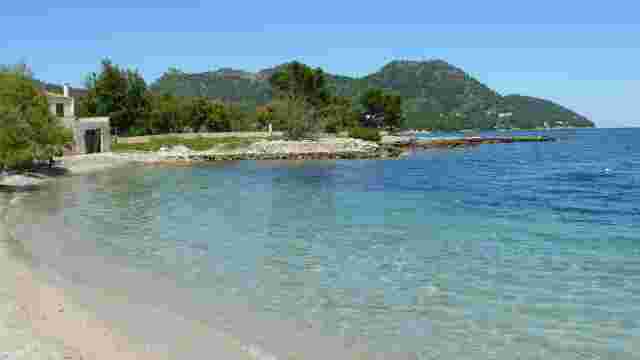
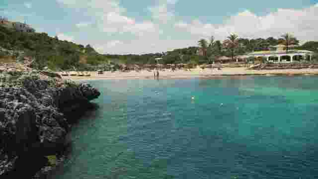
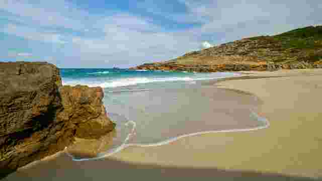
The path reaches Sa Coma beach, where you can see the bunkers built during the Spanish Civil War. The return follows Avinguda Baladres and Avinguda de Sa Coma back to Passeig de la Mar.
What to see along the route
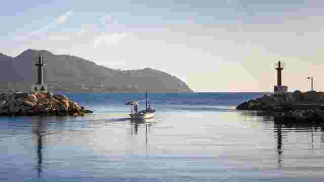
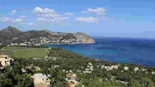
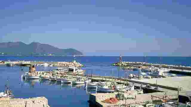
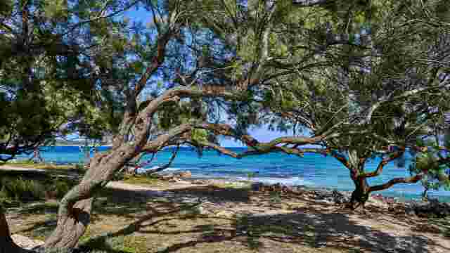
Highlights include Es Castell and the bay views, stone quarries, bunkers, and the flora and fauna of the natural area: junipers, white lilies, rosemary, sea fennel, Limonium, dwarf palm, mastic, heather and pines, as well as seabirds and small mammals.
Tips
- Wear comfortable footwear.
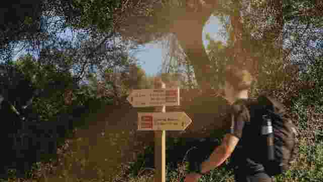
- Always follow marked paths.
- Bring water, especially on hot days.
- Do not leave litter.
- Make the most of the early hours and bring swimwear if you wish.