Son Servera - Artà hiking route
The Son Servera - Artà hiking route is a stage of the GR-222, an island route linking Manacor, Sant Llorenç des Cardassar, Son Servera, Artà and Capdepera. With a total length of 104.82 km, it is designed to be accessible and safe.
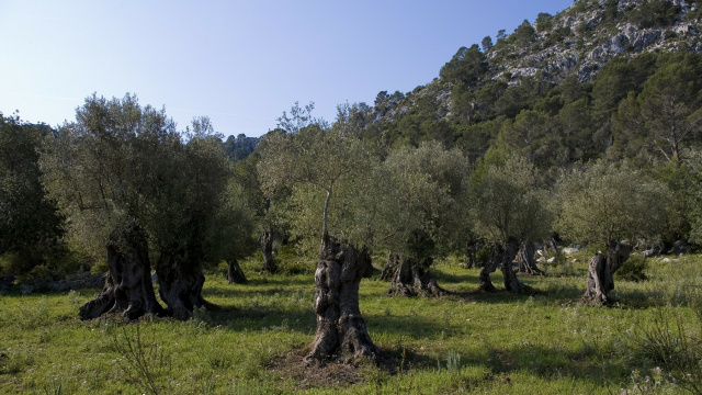
This stage starts in Son Servera’s main square and enters agricultural landscapes, ancient olive groves and rural paths before reaching Artà.
How to do the Son Servera - Artà route
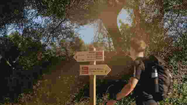
The route leaves the centre of Son Servera, crosses village streets and continues into the countryside, passing the Torrent de Xiclati, the Son Xerubí holm oak wood and the houses of Son Xerubí before reaching Coll de la Jordana and Artà.
Starting point: Son Servera square
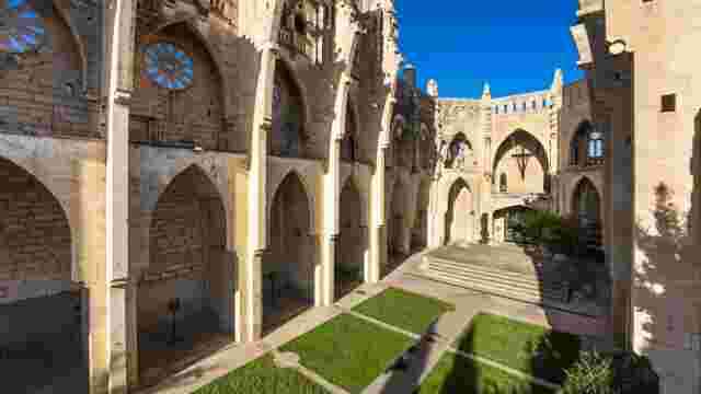
The route begins in Son Servera square. Before setting off, it is worth visiting the Iglesia Nueva and the Church of Sant Joan Baptista.
Rural sections and main paths
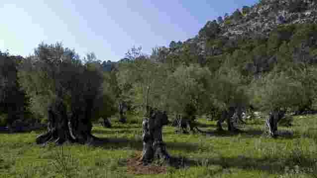
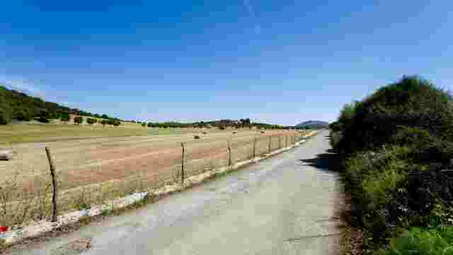
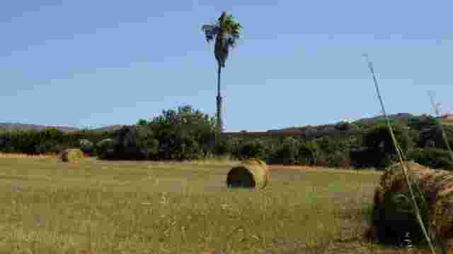
The path crosses fields, olive groves and rural tracks, passing the Torrent de Xiclati and Son Xerubí holm oak wood before continuing towards the Jordana estate.
Arrival in Artà
From Coll de la Jordana you can already see Artà. The trail continues to the centre, where you can rest and discover the local heritage.
What to see along the route
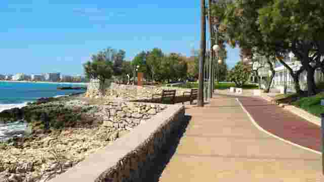
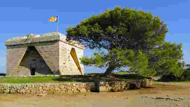
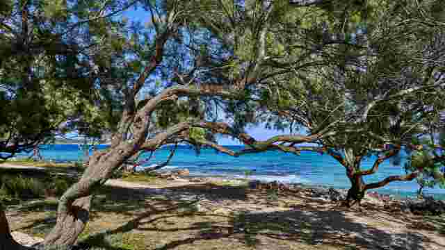
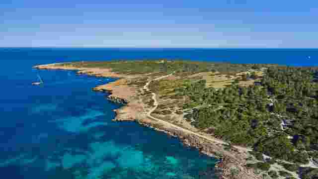
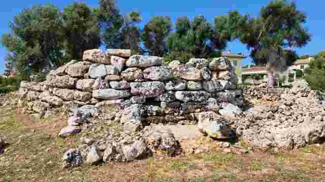
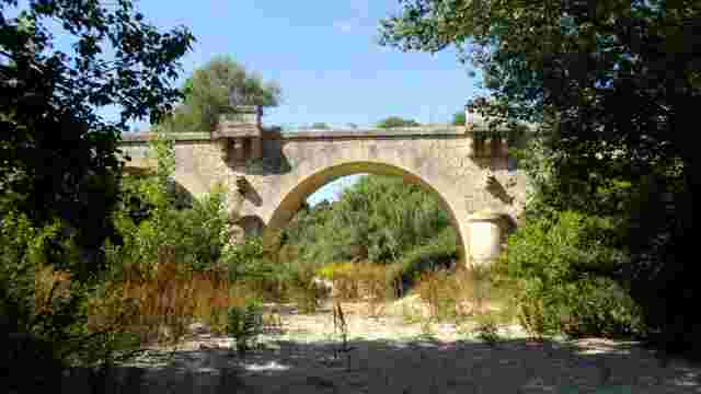
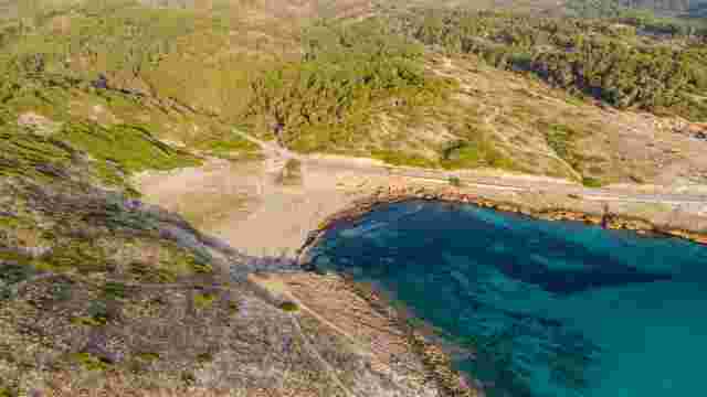
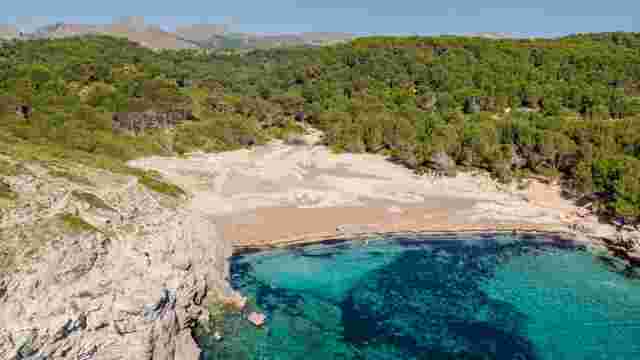
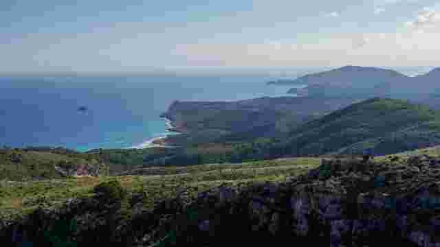
The route showcases the heritage of Son Servera and Artà, agricultural landscapes, olive trees, traditional architecture and views towards the coast and the Llevant Natural Park.