Global map
GR-226 East Mallorca Trail
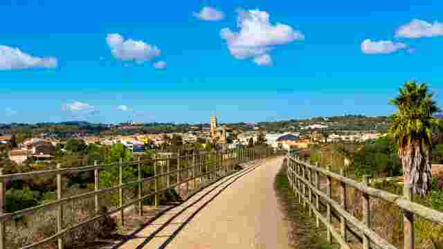
This is a 104.82 km route connecting Manacor, Sant Llorenç des Cardassar, Son Servera, Artà and Capdepera. The profile is fairly gentle, with small elevation changes on some inland sections, but without major demands.
The GR-226 hiking trail in Llevant stage by stage
The GR-226 route in Mallorca is designed to be done in stages, making it easy to adapt to any timeframe and pace.
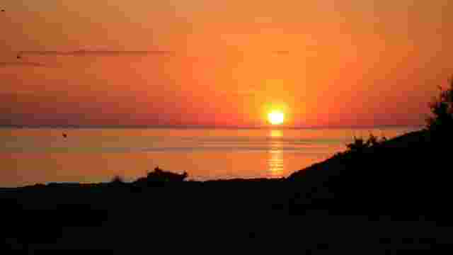
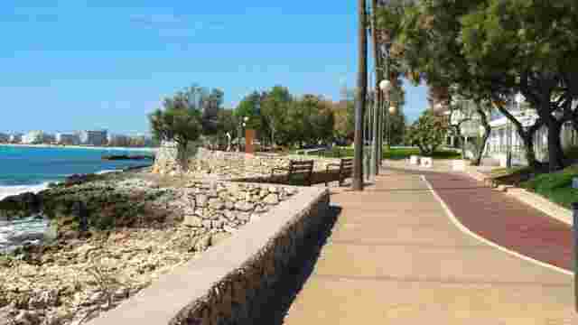
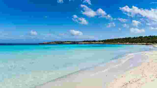
Stage 1: Cales de Mallorca → Manacor
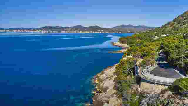
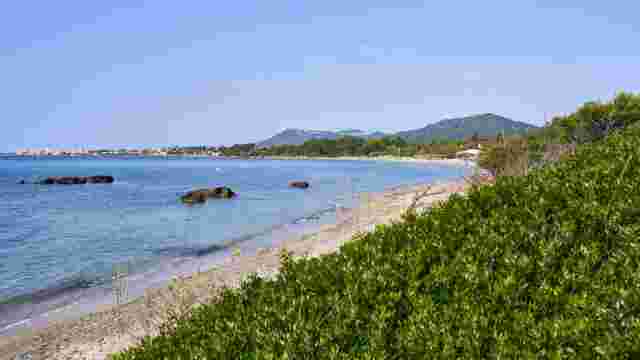
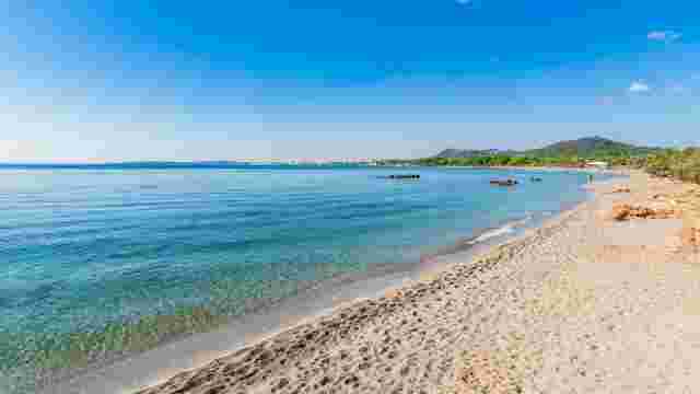
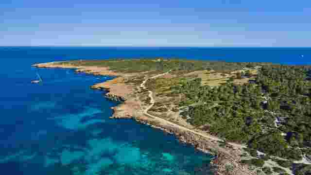
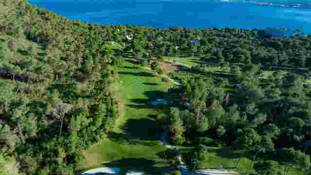
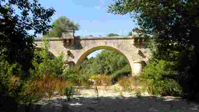
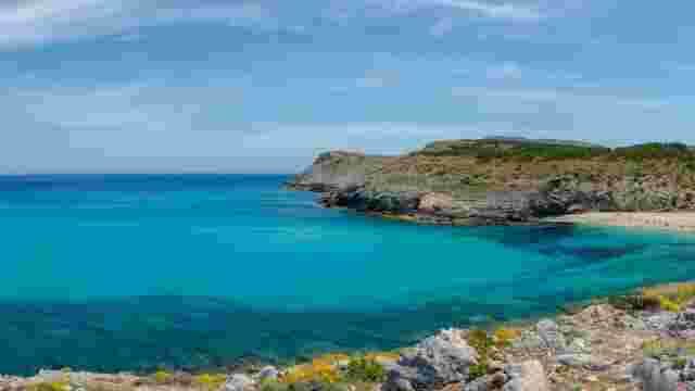
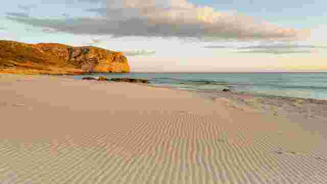
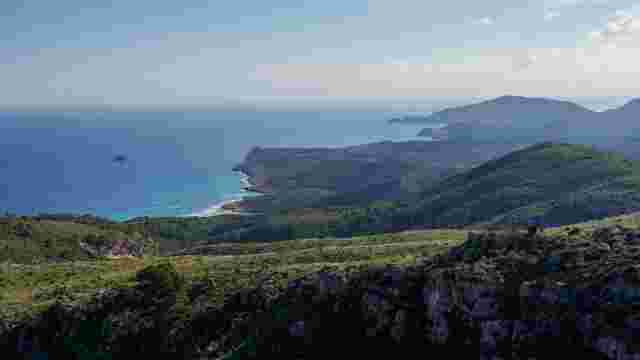
The route starts beside the sea, at Cales de Mallorca. The first kilometres are clearly coastal, passing by coves and stretches where the Mediterranean is visible throughout. It is a very pleasant start, perfect for getting into the rhythm without any effort.
Gradually, the path moves away from the coast and heads inland. Dirt tracks, pine forests and dry-farming areas appear. This is a gradual change that reflects the character of the route very well. The stage ends in Manacor, which introduces a more urban atmosphere and offers all the services needed to rest.
Stage 2: Manacor → Son Carrió
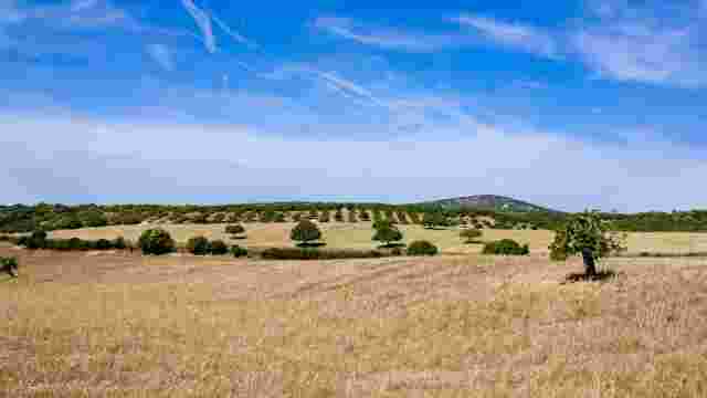
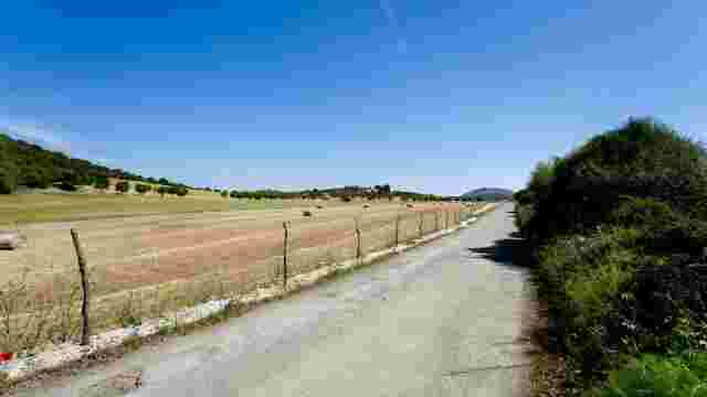
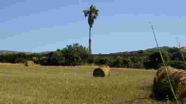
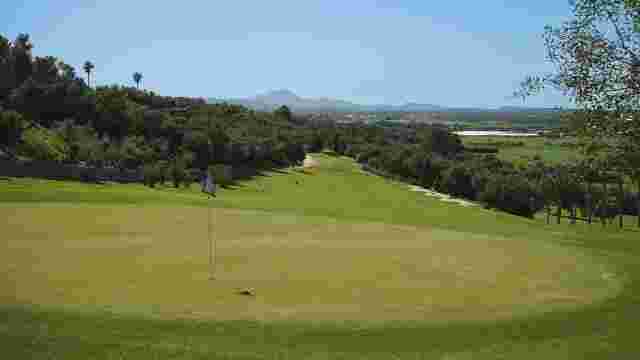
From Manacor, the route changes pace and becomes more relaxed. The path passes through agricultural fields and wide tracks, with the occasional gentle climb that is barely noticeable. It is a comfortable stage, easy to follow and perfect for walking without rushing.
Passing through Sant Llorenç des Cardassar marks one of the most interesting points of the route. It is a good place to stop before continuing towards Son Carrió. From here, the landscape opens up to reveal the more inland side of Mallorca, with a sense of calm that stays throughout the section.
Stage 3: Son Carrió → Artà
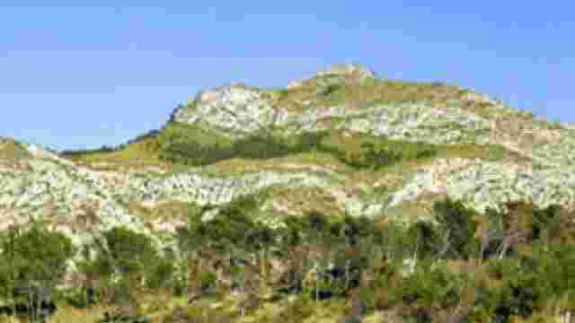
This section changes the pace of the route considerably. It leaves Son Carrió along rural paths and gradually reaches Son Servera, where a bit more activity and movement return.
From here, the route continues through farmland and gentle hills until approaching Artà. It is a very complete stage that combines very different landscapes.
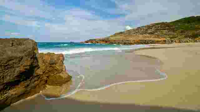
Stage 4: Artà → Cala Mesquida (Capdepera)
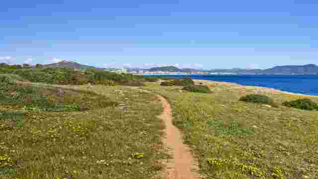
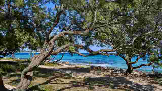
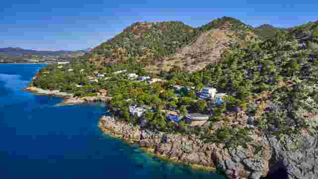
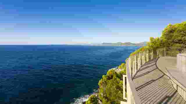
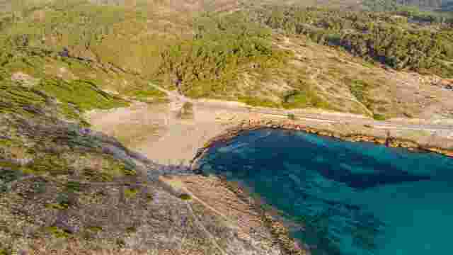
The final stage returns towards the sea and it shows. The landscape opens up and the surroundings change: fewer urban areas, more nature and a greater sense of freedom.
The path heads towards Cala Mesquida, with sections where the coast takes centre stage again. It is a finale to be savoured slowly, with one of the most beautiful landscapes of the entire route.
GR-226 route links and access points
In addition to the main route, there are some access paths that allow it to be adapted according to the time available or the starting point. This makes it much easier to organise the experience without needing to complete the full route.
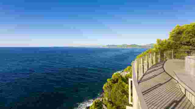
The access to the Costa dels Pins viewpoint is one of the most interesting, as it connects several points along the coast with open sea views. Meanwhile, the access to Son Macià passes through a more rural area, among vineyards and quiet paths, ideal for those seeking a slower, less busy section.
What villages to visit along the GR-226 Mallorca route
On the GR-226 Mallorca route you do not just walk — you also discover beaches, markets and the culture of Llevant's villages. Each stop has something different to offer, so it is worth taking your time and enjoying each place.
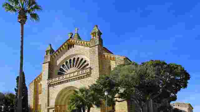
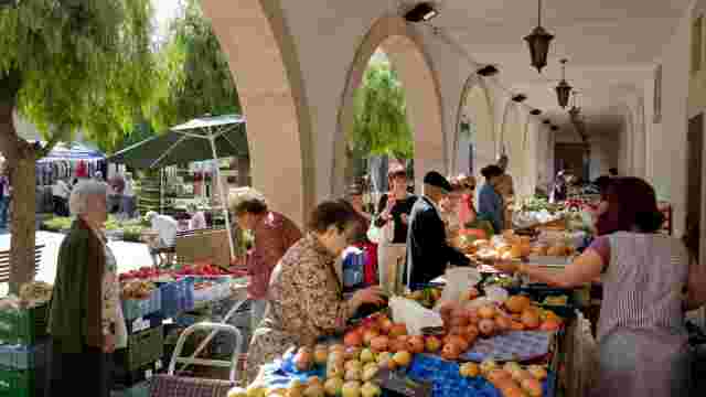
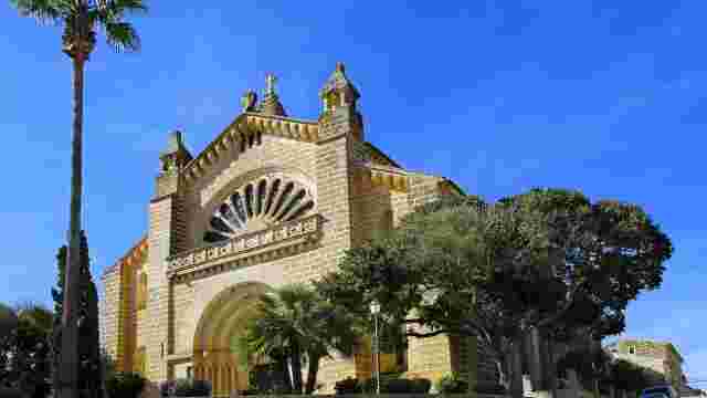
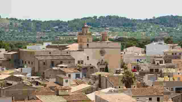
Manacor
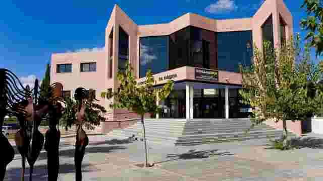
Manacor introduces a change to the route, with more services and activity. Its historic centre, the church of Nostra Senyora dels Dolors and its shopping streets make it tempting to take a leisurely break.
It is also a good place to experience local life or explore some of the nearby coves along the Manacor coastline.
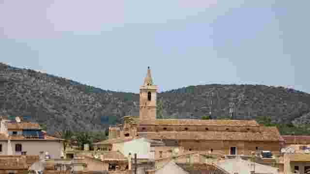
Sant Llorenç des Cardassar
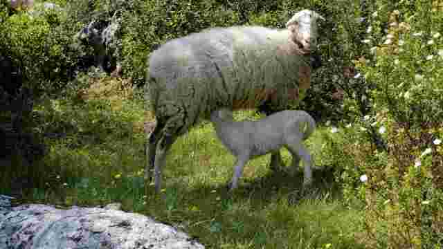
Sant Llorenç des Cardassar maintains a quiet atmosphere that is closely tied to the rural surroundings. Its streets, dry-farming fields and unhurried pace reflect inland Mallorca well.
Here you will find the parish church of Sant Llorenç, one of the most representative landmarks of the village, built over an ancient temple and reformed over time.
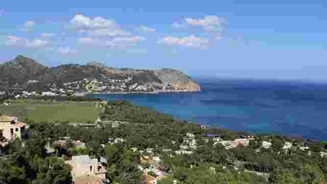
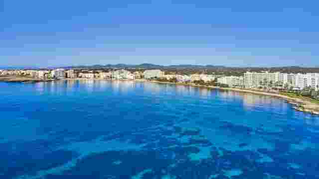
Son Servera
Son Servera offers a balance between local life and proximity to the sea. In the village you can visit the New Church, one of its most well-known sights.
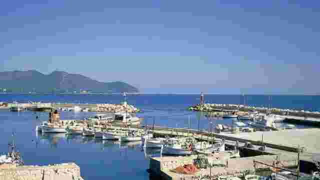
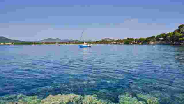
Its location also makes it easy to reach coastal areas such as Cala Millor or Cala Bona.
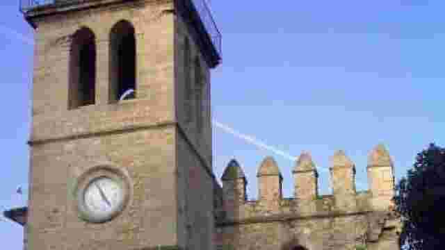
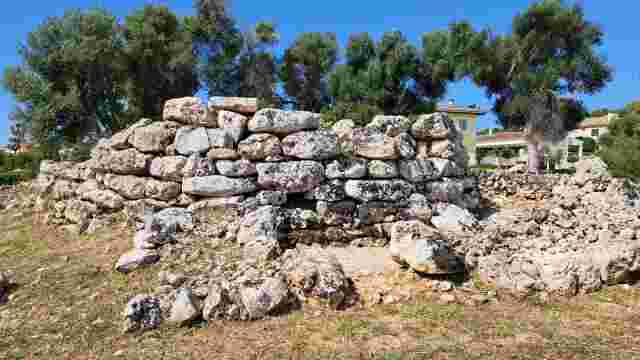
Artà
Artà has a clear presence from a distance, marked by the sanctuary of Sant Salvador. Once inside, its streets and squares make you want to explore the village at leisure.
The walled enclosure and the historic centre make this stop one of the most complete along the route.
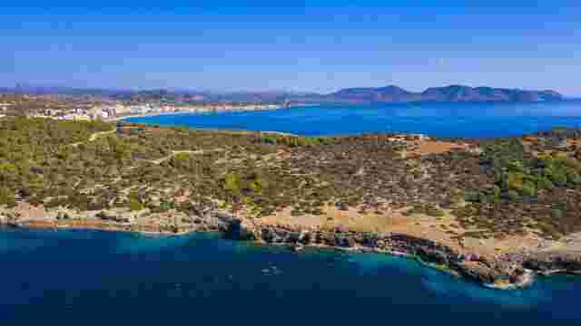
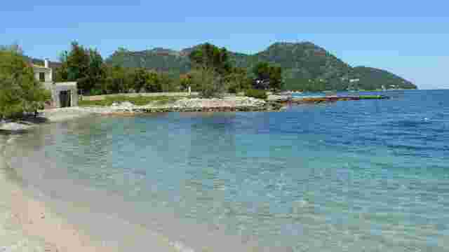
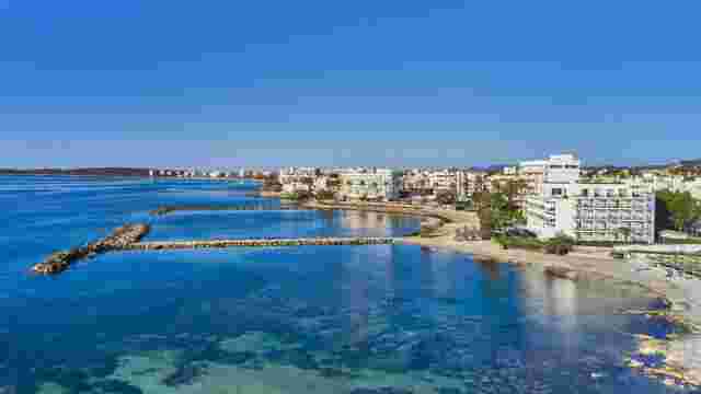
Capdepera and Cala Mesquida
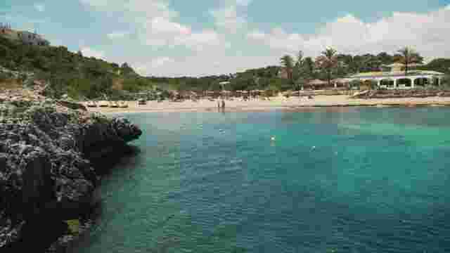
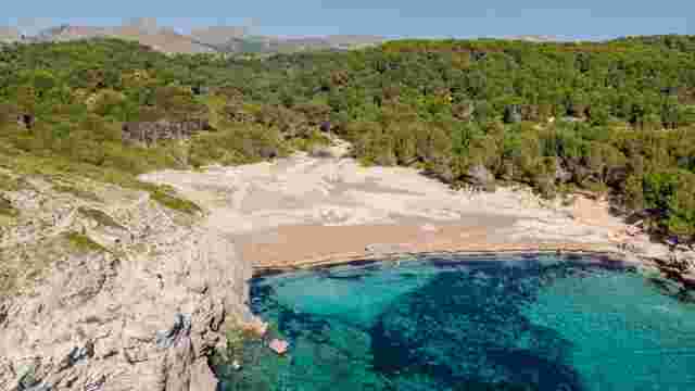
In this section the surroundings open towards the coast. Cala Mesquida, with its dune system and protected area, marks the end of the route.
Nearby, Capdepera castle and coves such as Cala Agulla allow you to round off the experience with heritage and coastal scenery.
Tips for hiking the GR-226 route in Mallorca
Before starting the GR-226 hiking route through Llevant, it is worth bearing in mind some practical aspects. It is not a complicated route, but planning well and bringing the right equipment will make the experience much more comfortable and enjoyable.
- Best time of year: spring and autumn are the best options, with mild temperatures. In summer it is essential to start early and avoid the hottest hours of the day.
- Route planning: it is not necessary to cover the full 100+ km in one go. It can be split into stages according to the time available, with careful planning of each day's start and end point.
- Recommended equipment: comfortable trekking or trail shoes, light clothing, sun protection and enough water. If you are doing several stages, keep your backpack well organised.
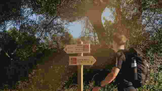
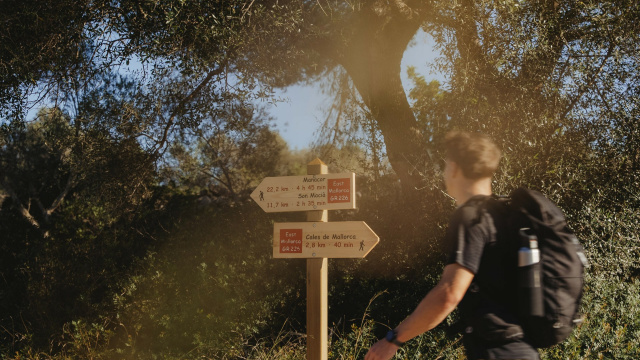
- During the route: check the weather forecast, keep your phone charged and download the track beforehand. Above all, respect the environment and always follow the signage.
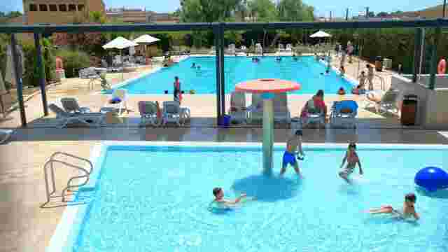
Along the way, it is tempting to stop from time to time and enjoy the surroundings at leisure. On several sections near the coast, we recommend making the most of the opportunity to head down to a cove for a swim, especially when the weather is right.
And when the route passes through villages, make the most of it. Stop for a leisurely meal, sit down for a while or even stay the night if you feel like it. Areas such as Cala Millor or Cala Rajada are excellent options for stretching the day and continuing the next morning without rushing.