Hiking trails
GR-226 East Mallorca
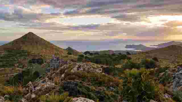
A hiking route of island interest that runs through the north of the Llevant region of Mallorca.
Plan your route: 105 km of history and nature
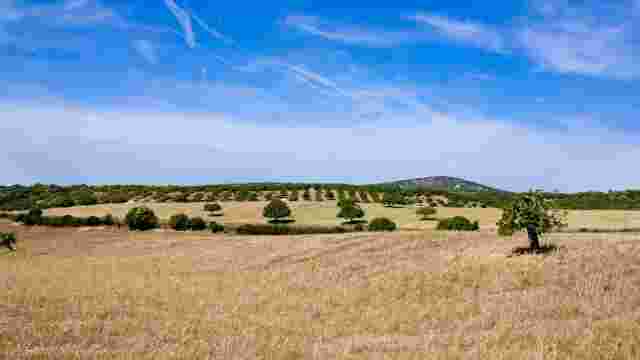
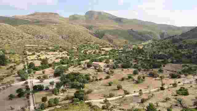
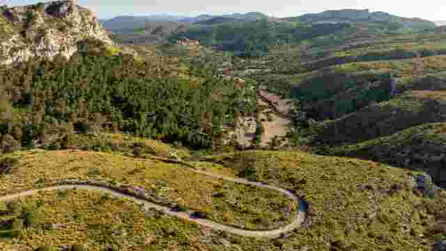
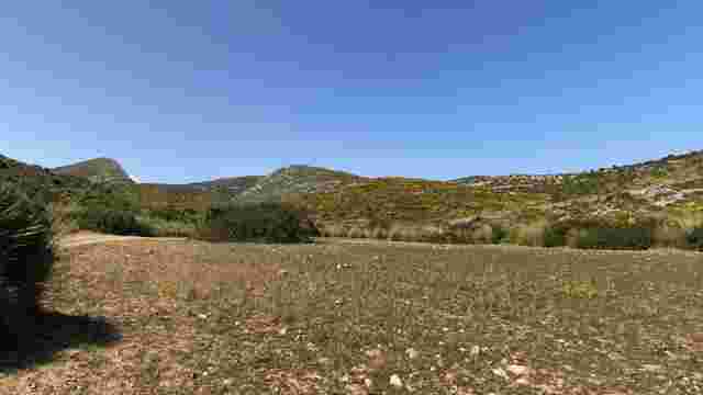
This route of island interest connects the municipalities of Manacor, Sant Llorenç des Cardassar, Son Servera, Artà, and Capdepera. With a total length of 104.82 km, the GR-226 has been designed to guarantee maximum safety and accessibility, offering a low level of difficulty that allows all types of hikers to enjoy the trail.
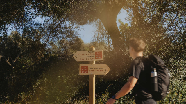
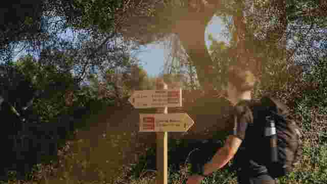
The main route is divided into several stages that combine heritage sites and diverse landscapes. Select one of the information sheets below to consult the technical details, distances, and points of interest for each section.
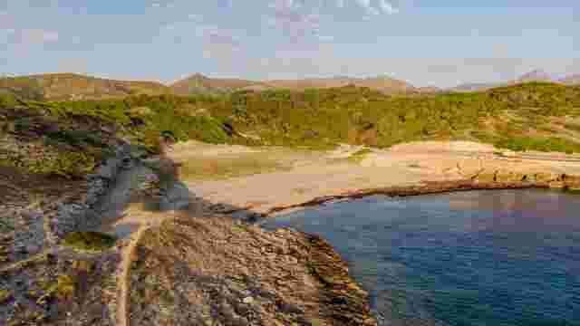
GR-226 East Mallorca
A hiking route of island interest that runs through the north of the Llevant region of Mallorca.
Hiking route Son Carrio
Explore scenic paths lined with almond and fig trees, visit a charming railway station, and savor local apricot pastries in this picturesque Mallorcan village.
Hiking route Son Servera - Artà
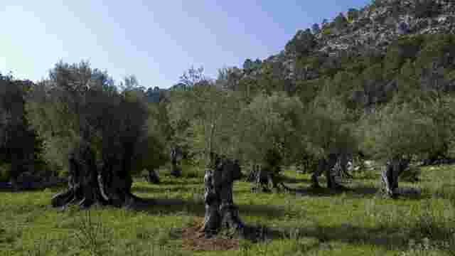
This scenic hiking route offers stunning views, charming towns, and rich history, featuring olive groves, traditional architecture, and local culture.
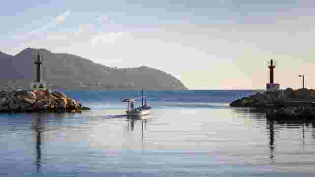
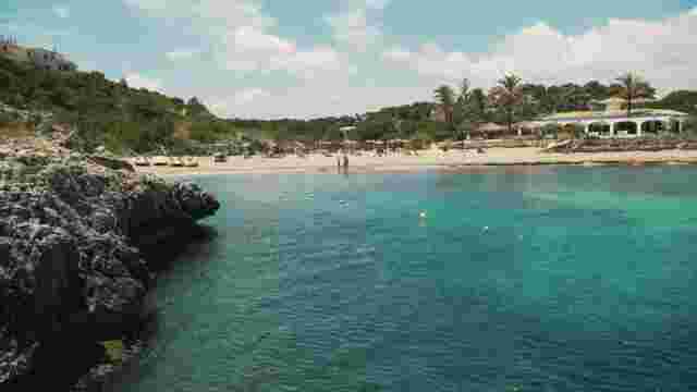
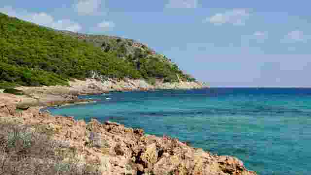
Hiking route Cala Bona - Canyamel
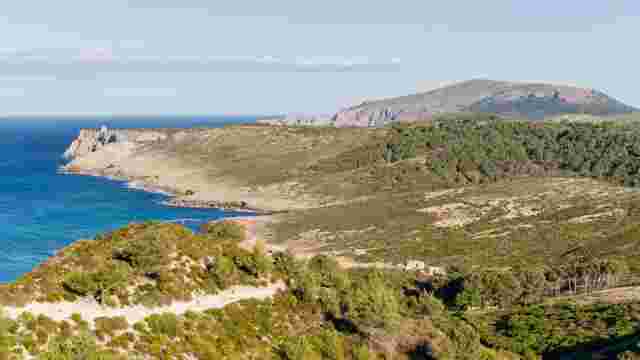
Explore scenic coastal views, pristine beaches, and unique attractions like the Artà Caves and Canyamel Wetlands in this picturesque hiking destination.
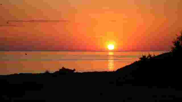
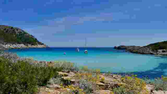
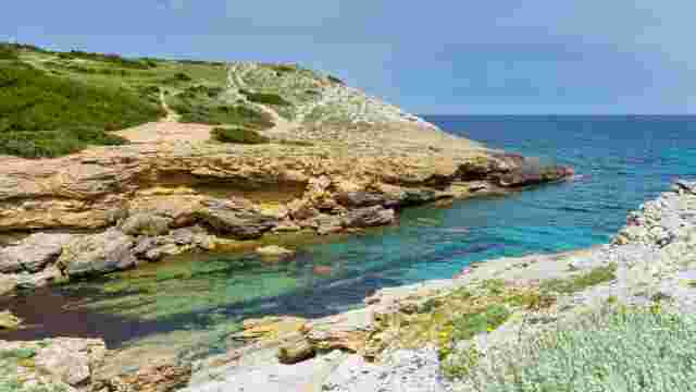
Coastal Route
Experience serene coves, scenic coastal paths, and charming beaches, perfect for a relaxing day by the sea with stunning views and tranquil waters.
Route sa punta de n´Amer
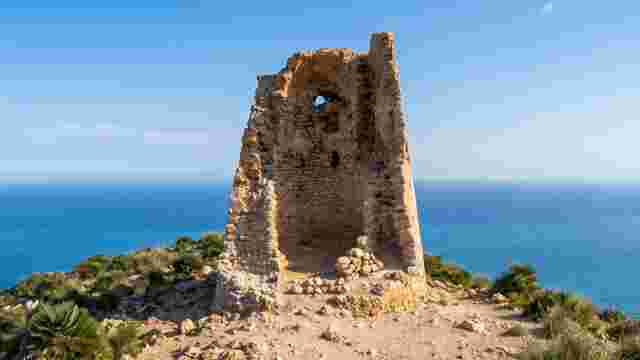
This natural area features stunning views, prehistoric towers, and Civil War bunkers, along with diverse flora and fauna, perfect for adventurous tourists.
COPY Green Way Manacor Arta
This scenic route offers easy access to charming inland towns, rest areas, and bike parking, perfect for enjoying the countryside and local attractions.
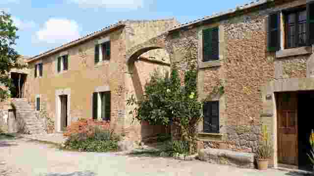
S'Alqueria Vella - es Verger
A short, easy route between the houses of s'Alqueria Vella de Baix and es Verger, inside the Llevant Peninsula Natural Park.
Es Verger - Albarca route
An easy route linking the houses of es Verger and Albarca through the es Verger valley and the olive groves of ses Monjoies.
Camí dels Presos
A medium-difficulty route climbing the s'Alqueria Vella valley to the Campament des Soldats and on towards puig de sa Tudossa.
Campament dels Soldats - es Verger route
A short, easy walk linking the Campament des Soldats with the houses of es Verger, with open views towards the sea.
S'Esquena Llarga route
An easy ridge path linking the Camí dels Presos with the es Oguers refuge and s'Arenalet des Verger.
Camí d'en Mondoi
A medium-difficulty route between the Camí des Presos and pla de ses Bitles, with wide views of the Mallorcan coast.
Horts Vells d'Albarca route
An easy route through a holm oak grove, the old market-garden areas of Albarca and hidden corners of the torrent des Matzoc.
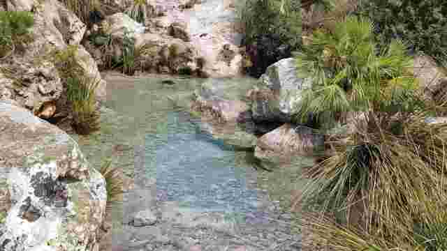
Font de Penya Roja route
A short, easy walk following the Penya Roja torrent to the delicate surroundings of the spring.
Volta als Establits de s'Alqueria Vella route
A medium-difficulty circular route around Puig Figuer and through the old establits of s'Alqueria Vella.
Puig Figuer ascent
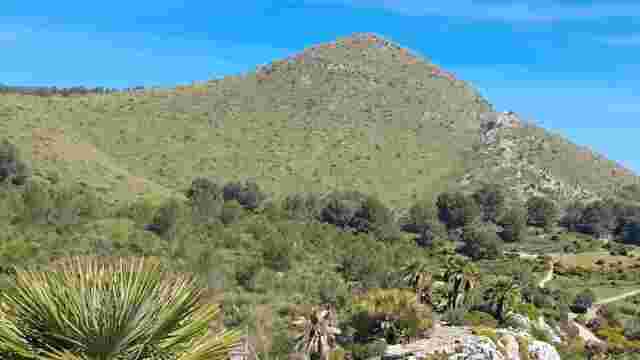
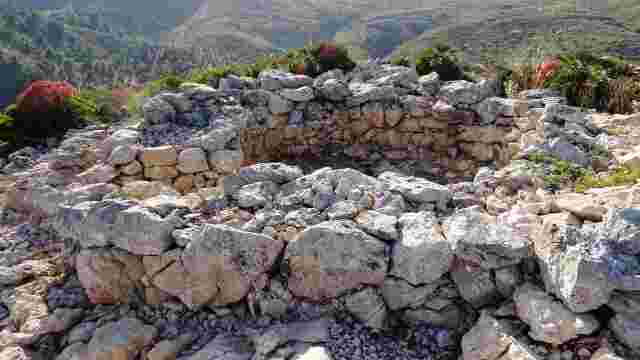
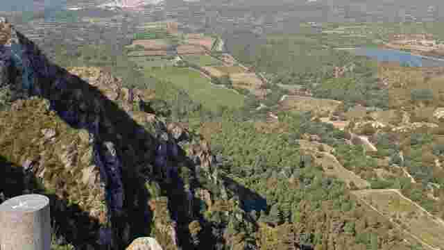
A short, easy ascent to Puig Figuer, with panoramic views and the remains of a talaiot.
Puig des Porrassar ascent
A short but demanding ascent from the Campament des Soldats to Puig des Porrassar, with a steep gradient.
Talaia Freda ascent
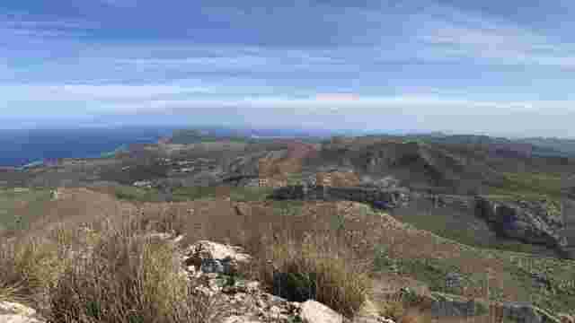
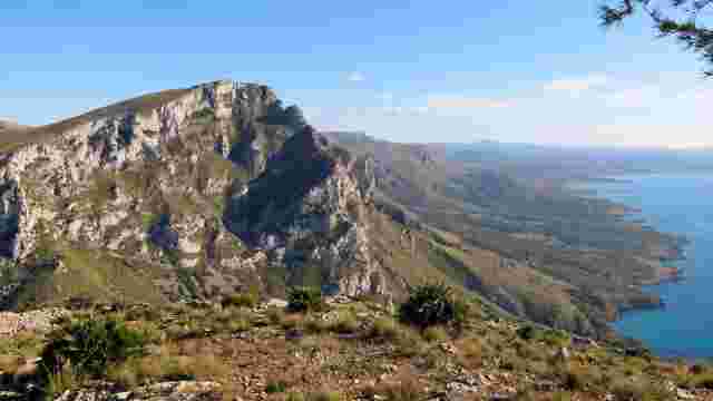
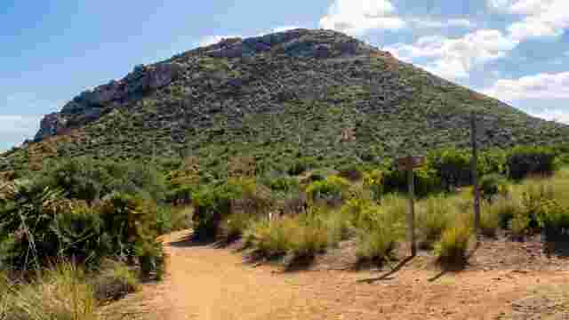
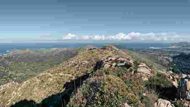
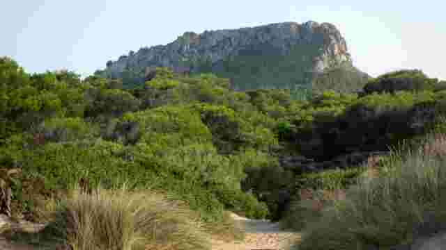
An ascent to Talaia Freda, the highest peak in the Serra de Llevant, with broad views over the coast and mountains.
Puig des Corb route
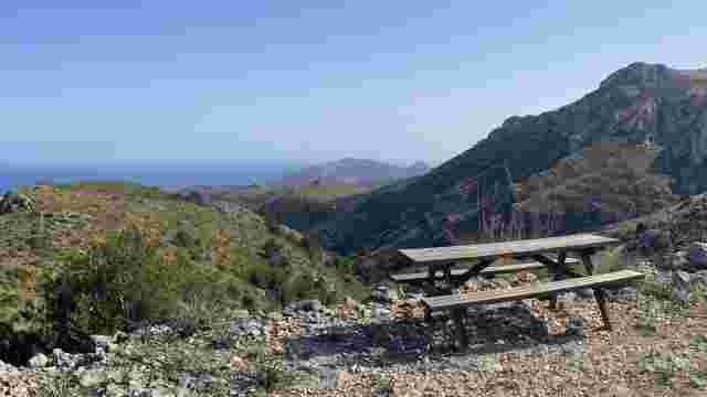
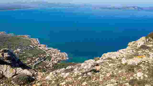
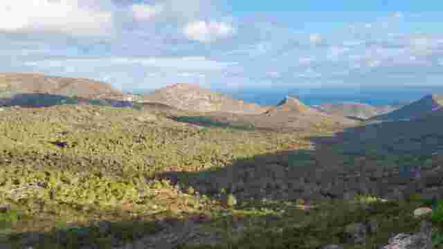
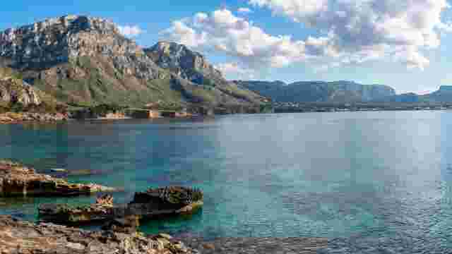
A mountain route to Puig des Corb, with fine views of the coast of Arta and the Bay of Alcudia.
Cami de ses Costellades
A medium-difficulty traditional path entering a small valley near Coll de Marina.
Sa Duaia route
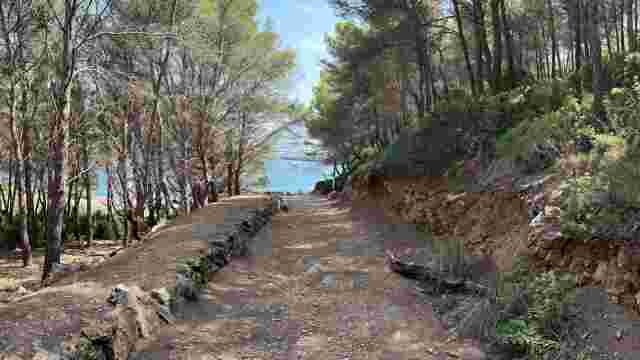
An easy route through the Comellar de sa Duaia to s'Arenalet des Verger, crossing woodland and coastal landscapes.
Cami des Puig des Raco route
A short, medium-difficulty route with views over sa Duaia and the bays of Alcudia and Pollensa.
Cami de sa caseta des Garriguer route
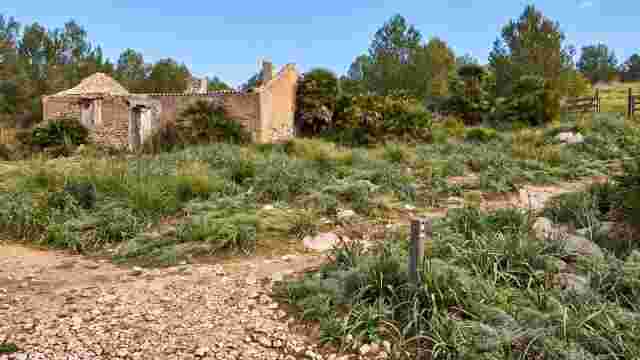
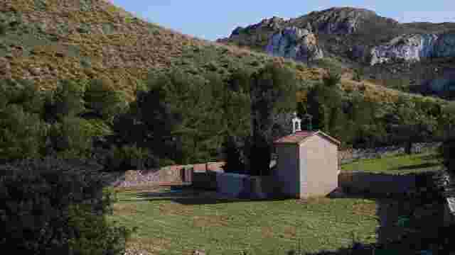
A short, easy walk to the remains of sa caseta des Garriguer, in the Comellar de sa Duaia.
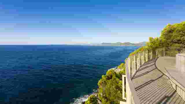
Access to the Viewpoint Costa dels Pins
A coastal route linking beaches and residential landscapes, culminating in a viewpoint with breathtaking views, ideal for enjoying nature.
Acces Son Macià
This link connects stage 1 with the village of Son Macià along a dirt track that runs between vineyards, dry land trees and pine and chaparral woods.
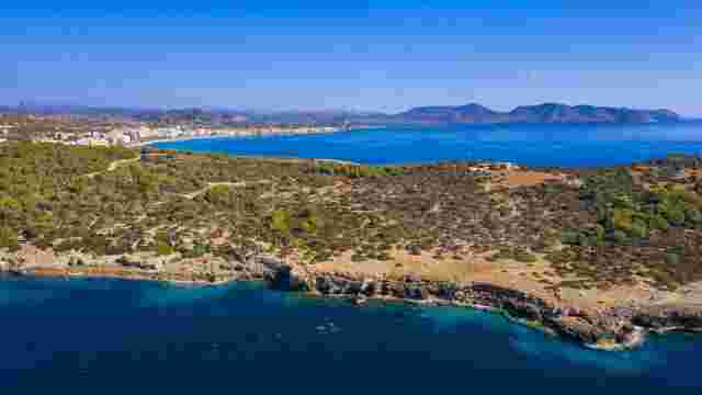
Stage 1 cales-de mallorca manacor
This scenic route offers stunning coastal views, charming beaches, and a picturesque journey through vineyards and pine forests, perfect for nature lovers.
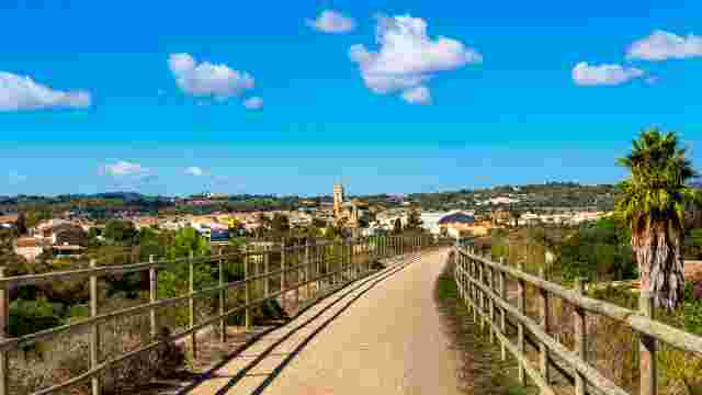
Stage 2 Manacor - Son Carrió
Explore scenic paths connecting charming villages, lush pine woods, and stunning mountain views, perfect for nature lovers and hiking enthusiasts.
Stage 3 Son Carrió - Artà
This route features stunning beaches, charming villages, and scenic coastal paths, perfect for tourists seeking natural beauty and local culture.
Stage 4 Artà - Cala Mesquida
This coastal route features stunning views, sandy beaches, and lush pine forests, perfect for nature lovers and those seeking tranquility.
Old Sa Duaia path route
An easy route along a section of the old Sa Duaia path, between the Cala Torta road and the estate surroundings.
S'Hort de sa Duaia de Baix path route
An easy cart track branching from the Sa Duaia route near the torrent de ses Voltes.
Cala Torta route
An easy path branching from the Cala Mitjana loop and reaching Cala Torta through the pinewood.
Sa Talaia de Son Jaumell route
A medium-difficulty route climbing from the Coll de Marina path to the Talaia de Son Jaumell.
Coll de Marina path route
An easy path linking Cala Agulla and Cala Mesquida through Coll de Marina.
Puig de s'Aguila loop
An easy circular route branching from the Coll de Marina path and circling Puig de s'Aguila.
Na Llobriga path route
An easy old path branching from the Coll de Marina route and crossing the Na Llobriga area.
Betlem to Calo de Ferrutx path route
An easy coastal route from Betlem to Calo de Ferrutx, with huts, a lime kiln and hydraulic features.
Old Ermita path route
An easy pedestrian-only route between Coll des Pescadors and Font de na Bernadeta.
Cala Mitjana loop
An easy circular route through Cala Estreta and Cala Mitjana, linking with the access path to Cala Torta.
Descent to Cala Torta route
An easy descent from the end of the Cala Torta road to the paths leading to the cove.